American media published a map of the location of Russian troops on the Ukrainian border
The New York Times published a map with an approximate location of the Russian military and equipment near the borders of Ukraine
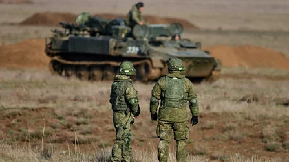
The map was based on satellite imagery, intelligence and independent military analysts. Yes, Russian troops surround Ukraine on three sides.
Russia is "on the way" to getting everything it needs to launch an invasion.
The publication reports that 2 groups of troops are located near the border with Belarus, near the cities of Yelnya (Smolensk region) and Klintsy (Bryansk region).
Read also: Latvia called on EU and NATO to be prepared for threats of Russian invasion of Ukraine
Three more groups are located near Voronezh. These troops, according to the NYT, could directly threaten Kyiv in the event of a military operation. Another group is in the Volgograd region, two - near the border with the so-called "LPR" and "DPR", - was infromed in the publication notes.
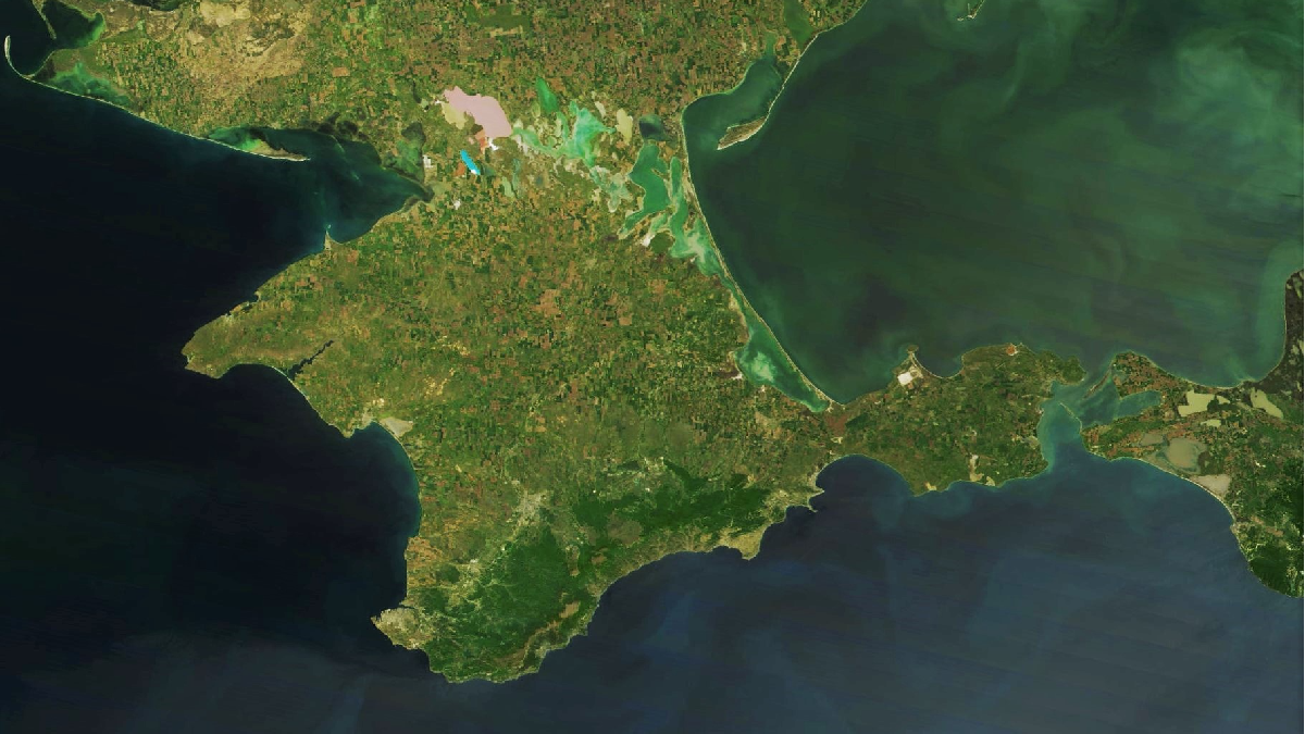
In addition, the military is located in the city of Korenovsk (Krasnodar Territory, only artillery) and in the Crimea.
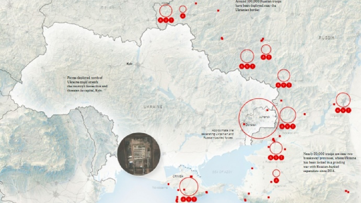
Source: NYT Infographics
What is known
- The United Nations Security Council has stated that it has prepared for any scenario of events around Ukraine. The UN is closely watching what is happening.
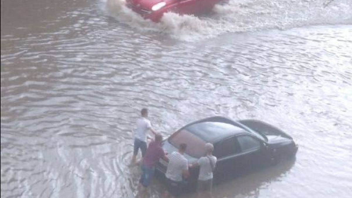
- Russia continues to build up troops near Ukraine's borders, despite a video conference on December 7 that US President Joe Biden called on Russian President Vladimir Putin to de-escalate the conflict. Russia suspends and changes the schedule of commercial air and rail flights for the transportation of personnel and Russian military equipment. US and Ukrainian officials have evidence of this.
Read us in the Telegram